


You are using an outdated browser. To have the best experience use one of the following browsers:
Setting the Standards
Turnkey snowmaking systems


![[Translate to english:]](/fileadmin/_processed_/b/5/csm_TA_2022-01-03__MG_2620_e98542b0c5.jpg "[Translate to english:]")
![[Translate to english:]](/fileadmin/_processed_/1/3/csm_TT10_Shahdag_AZE-1_Titelbild_a895084ede.jpg "[Translate to english:]")

TechnoAlpin has been designing and building turnkey snowmaking systems for ski areas all over the world since 1990. A love of snow and a passion for innovative solutions have made the company the world’s leading supplier of snowmaking equipment. The product range is constantly being expanded in a bid to produce snow of the highest quality in the most energy-efficient and resource-saving way possible.
Keep up with the latest news! Get regular insight into all of TechnoAlpin's latest projects.
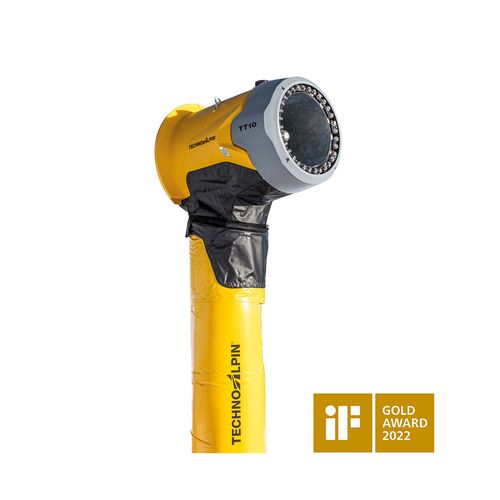
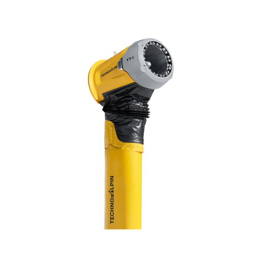
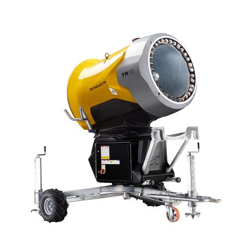
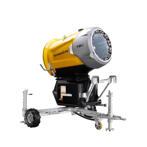
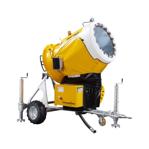
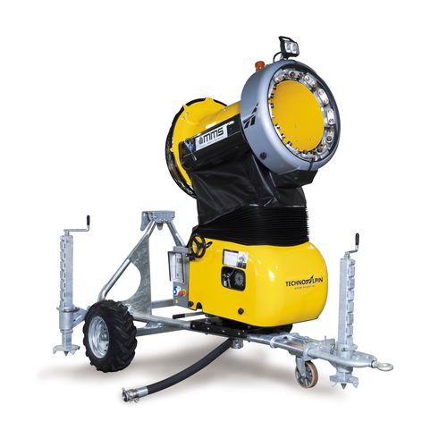
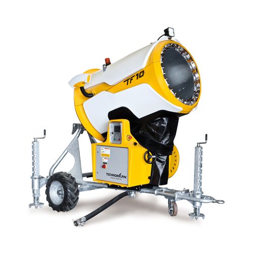
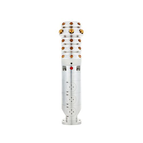
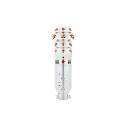
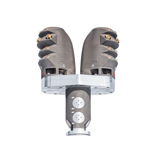
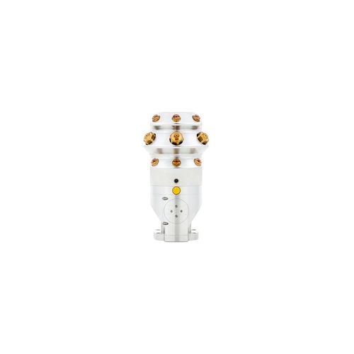
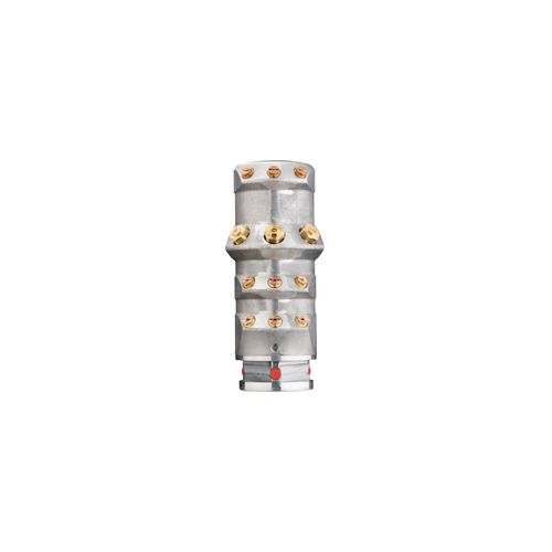
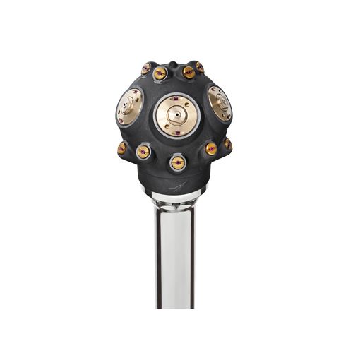
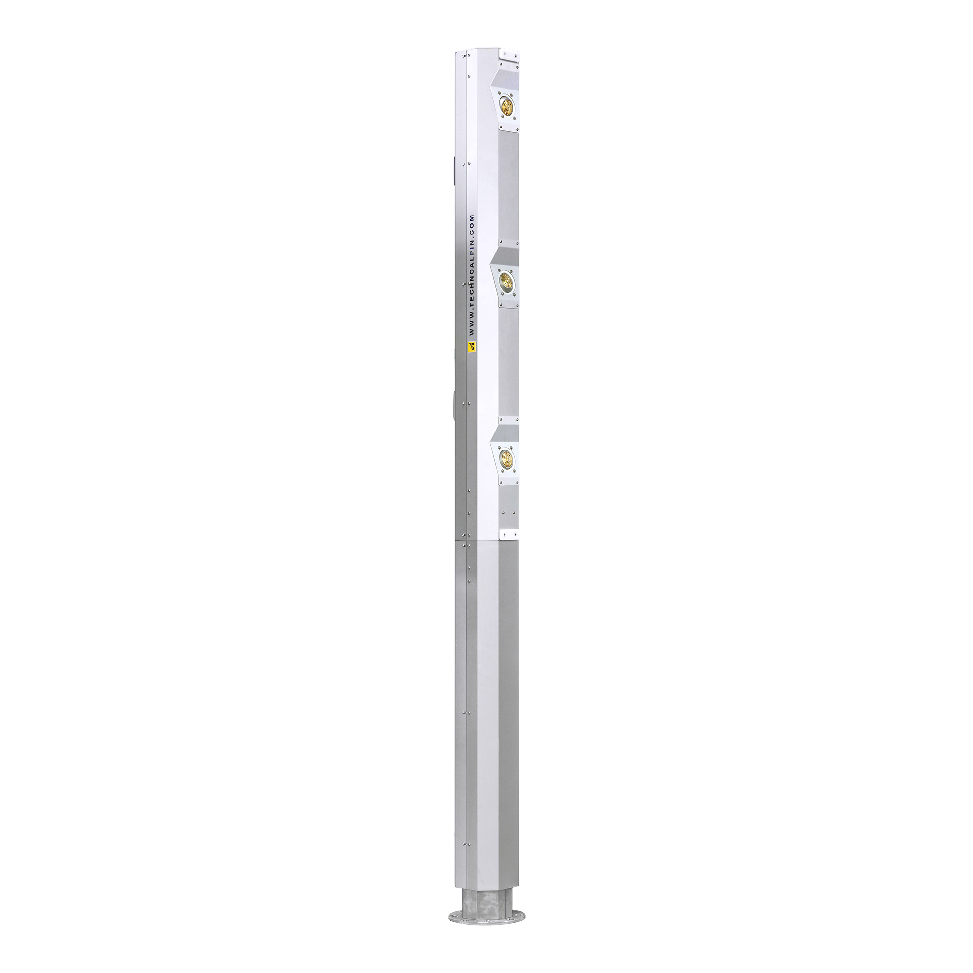
The many snow guns made by TechnoAlpin excel in terms of quality, efficiency and reliability in snowmaking. We are constantly expanding our snow gun and component product lines.
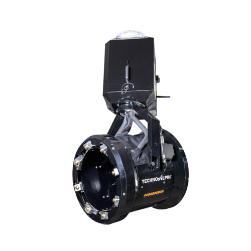
Fan guns

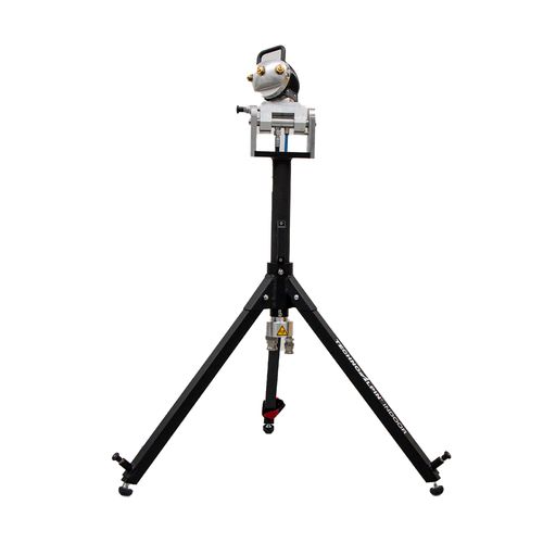
Snow lances
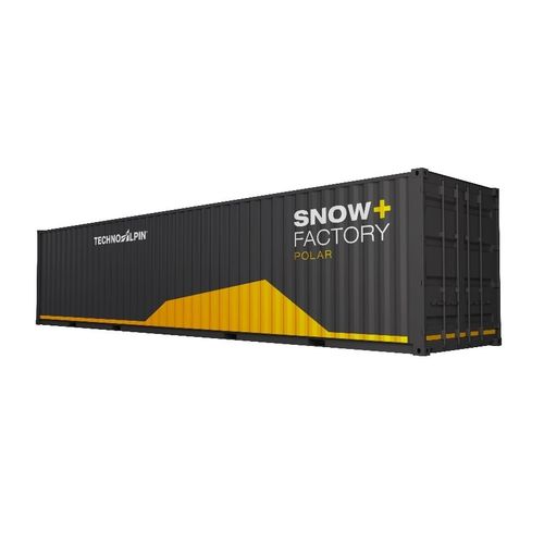
Snowfactory
Indoor snowmaking

Industrial solutions
Our flagship projects are our best calling card. Here is a selection of projects completed worldwide with our snowmaking technology in various industrial sectors.


over 120000
snow guns produced
16
sites in 13 countries worldwide
over 700
employees worldwide